Piloting Smart Preempti
Tempe is currently undertaking a pilot program focused on implementing advanced technology to grant priority to emergency vehicles navigating key routes. Collaborating with the Maricopa Association of Governments and specialized traffic technology providers, the city is deploying a system utilizing GPS data and artificial intelligence to predict vehicle paths and adjust traffic signals accordingly. The aim is for emergency responders travelling along designated corridors, specifically South Kyrene Road and West Baseline Road, to consistently encounter green lights, thereby reducing critical response times. This approach holds the potential to significantly enhance safety and efficiency for public safety fleets. However, its real-world effectiveness and potential side effects on overall traffic flow, particularly how it manages signal timing for regular commuters, remain subjects the one-year trial is intended to address. Evaluating its performance across varied traffic conditions and its seamless integration into the city's existing infrastructure will be key outcomes of this effort, which is testing the system across approximately a dozen intersections.
Examining the smart preemption initiatives being tested on certain routes reveals several aspects worth considering from a technical and operational standpoint.
Firstly, the concept moves beyond simple presence detection to incorporate predictive modeling. The system reportedly aims to analyze prevailing traffic flow patterns and potentially anticipate both the movement of priority vehicles and the downstream impact on general traffic. This forecasting capability is intended to allow for preemptive signal adjustments well ahead of arrival, managing flow along a corridor rather than just at a single intersection. The efficacy of this predictive layer hinges significantly on the quality and volume of real-time and historical data it can access and process.
Secondly, while the primary stated goal is rapid transit for priority vehicles, a frequently highlighted side effect is a potential reduction in vehicle idling at intersections that would otherwise be stopped. If successful in providing smoother passage, this could contribute to marginal localized improvements in air quality along the affected routes, though quantifying this environmental benefit precisely amidst the complexity of urban traffic is a separate challenge.
Thirdly, discussions surrounding such technology often touch upon extending the definition of safety. Integrating data streams beyond just vehicle detectors—potentially including pedestrian signal calls or cyclist presence information—adds layers of complexity. The system must then grapple with nuanced decision-making: how does it safely manage conflicts when a priority vehicle needs to clear an intersection where vulnerable road users might also have a legitimate claim to right-of-way, and how are these competing priorities weighted and resolved in real-time?
Furthermore, the ability to dynamically adapt to real-world, unexpected conditions is critical. A system relying on predictions must also possess robust mechanisms to detect and react to sudden anomalies—like unexpected blockages or significant, unpredicted changes in traffic volume—that deviate sharply from learned patterns or forecasts. The responsiveness and reliability of this adaptive layer are paramount for maintaining safety and effectiveness under variable urban conditions.
Finally, the operational logic isn't necessarily focused on maximizing speed unconditionally for priority vehicles, nor solely on minimizing delay for general traffic. Instead, the system aims to optimize across multiple objectives, balancing the need for priority movement with considerations for safety, stability of traffic flow for others, and efficiently clearing intersections of potential conflicts. The specific weighting and trade-offs within this multi-objective optimization function define the system's behavior and are key parameters for calibration and evaluation.
Utilizing AI Assisted A
Tempe is exploring the use of AI-driven analysis to better understand and pinpoint safety requirements across its road network. This involves applying sophisticated data examination techniques and predictive methods to scrutinize how traffic behaves and where potential risks might be hiding, aiming to get ahead of problems rather than just reacting to them. The technology can also assist with automated checks, potentially using computer vision to identify hazards visible along routes. However, integrating this level of analytical capability into everyday operations brings up questions. How effective is this analysis when facing the messy, unpredictable reality of city traffic? And how are insights gained from this analysis used to navigate the complex task of ensuring safety for all road users, which might involve balancing the need for quick emergency access with the safety of those walking or cycling? The ongoing effort is to build systems informed by this analysis that are flexible enough to handle urban complexities while keeping the safety of everyone as the priority.
From an engineering perspective, employing AI for analytical purposes offers promising avenues for proactively identifying locations and situations on city routes that pose higher safety risks. This process typically involves feeding diverse datasets into machine learning models to uncover patterns and make predictions. Here are some aspects of how AI-assisted analysis is being explored to pinpoint where safety enhancements might be most impactful:
By sifting through historical records of traffic incidents – factoring in variables like traffic volume, weather at the time, road surface conditions, and even time of day or week – AI algorithms can develop statistical models to forecast areas and periods exhibiting a elevated likelihood of future crashes. The accuracy, however, remains highly dependent on the granularity, consistency, and completeness of the historical data available for training.
Moving beyond just documented incidents, AI systems can process continuous streams of data from sources like traffic cameras or specialized sensors to automatically detect and categorize events that didn't result in a reported crash but represent risky interactions – often referred to as "near-misses" – involving different road users. While valuable, the technical challenge lies in robustly and consistently defining and detecting such events across varied conditions without excessive false positives.
Analysis of vehicle movement patterns, potentially gleaned from connected vehicle data or sophisticated inductive loops and sensors embedded in the road, can reveal behavioral proxies for risk. For instance, identifying locations with a statistically unusual frequency of hard braking, abrupt lane changes, or sudden acceleration maneuvers could flag areas where road design or operational issues are prompting unsafe reactions, though correlating these actions directly to specific causes requires careful validation.
Combining data from various user types – say, pedestrian signal activations, bicycle detection, and motor vehicle flow at intersections – allows AI to analyze complex interactions and map specific points where different modes of transport frequently come into potential conflict. This can help highlight locations where dedicated infrastructure improvements or changes to signal timing protocols could mitigate risks for vulnerable road users, acknowledging that accurately modeling the safety dynamics of mixed traffic remains intricate.
Furthermore, leveraging machine learning to establish and monitor "normal" traffic flow characteristics on a route enables AI to flag deviations from these learned patterns in near real-time. Such anomalies in speed, volume, or flow stability might indicate an unexpected hazard, sudden blockage, or developing safety issue requiring prompt investigation, provided the anomaly detection system is tuned appropriately to minimize noise while catching critical events.
Integrating Technology
Tempe remains committed to its Vision Zero objective, striving to eliminate traffic fatalities and serious injuries across its streets. This ongoing initiative increasingly incorporates technological solutions and data-driven strategies to guide efforts and inform interventions. Based on analyses of past incidents and collaboration involving diverse city entities and community stakeholders, technology is being utilized to gain deeper insights into areas posing higher risks within the transportation network. Supported by considerable grant funding directed towards enhancing safety measures, the focus includes deploying advanced analytical capabilities to better anticipate potential issues. Yet, the practical application of these technological systems to deliver concrete safety improvements amidst the dynamic and complex realities of urban traffic poses notable hurdles. A crucial aspect requiring ongoing assessment is how effectively these tools manage the unpredictable mix of vehicle movements, ensure equitable safety benefits for everyone—including those using less data-connected modes like walking or biking—and reconcile varied demands on infrastructure. Ultimately, the impact of these integrated technological approaches will be judged by their verifiable contribution to a safer environment for all navigating the city.
Examining Tempe's approach to weaving technology efforts into its Vision Zero strategy reveals several points worth considering from a technical implementation standpoint.
One aspect is the stated aim to transition from merely cataloging historical incidents to attempting proactive identification of potential safety risks. This involves leveraging real-time analysis of traffic behaviors and predictive modeling approaches. The idea is to flag hazards *before* they manifest as reported crashes, theoretically supporting the preventive goal of Vision Zero. The effectiveness of this shift hinges entirely on the accuracy and robustness of these predictive models when applied to the unpredictable reality of urban traffic flows and human behavior.
Another focus involves using analytical tools, reportedly including AI techniques, to model the intricate interactions among different road users, particularly pedestrians and cyclists, at locations identified as potentially high-risk. The intention is to derive insights that could then inform adjustments to infrastructure design or operational parameters. The challenge here lies in ensuring that the data and models truly capture the nuanced dynamics of vulnerable user safety and that the resulting recommendations are practically translatable into effective physical or operational changes on the ground.
Furthermore, there's mention of systems potentially utilizing machine learning to continuously adapt their predictive safety models. This would purportedly be based on observed traffic patterns and detecting what might be termed "near-miss" events. The concept of a system that learns and improves its interventions over time aligns with long-term safety goals, but reliably defining, detecting, and using "near-miss" data as a consistent feedback loop for model refinement remains a non-trivial technical hurdle requiring careful validation to avoid training on noise or misinterpretations.
The generation of location-specific safety risk scores through analysis of varied data streams is described as a method for prioritizing safety investments. While providing a quantitative basis for decision-making is desirable, the utility of these scores depends critically on the comprehensiveness and quality of the input data streams and the transparency of the methodology used to weight and combine them. Translating these numerical scores into concrete, impactful interventions across disparate locations presents its own set of implementation challenges.
Finally, the metrics for evaluating these integrated technology platforms are reportedly tied to the difficult task of quantifying the avoidance of potential crashes and the reduction of safety risks. This represents a conceptual move away from solely measuring traffic efficiency towards directly assessing contributions to Vision Zero outcomes. However, demonstrating a direct, attributable contribution to *preventing* events that didn't happen is inherently complex and requires sophisticated methodologies to move beyond correlation to causation, making the concrete measurement of "quantified contribution" a significant research and validation effort in itself.
Targeted Improvements U

Targeted safety work is actively progressing on specific sections of Tempe's street network. A significant example involves a multi-mile portion of Baseline Road, supported by considerable investment aimed at adding improvements such as better pedestrian crossings, specific lanes for turning vehicles and bicycles, and other infrastructure updates. Furthermore, the city has marked particular routes as ‘safety corridors,’ indicating focused efforts including more stringent enforcement of traffic regulations, particularly in areas identified from past data as having elevated collision risks. The stated goal is to curb traffic incidents and contribute to a more secure environment for everyone using these paths. Yet, the real-world challenge lies in whether these measures can consistently deliver tangible safety benefits when facing the unpredictable nature of everyday urban traffic conditions.
Here are some specific technical points observed regarding the targeted safety improvements underway on certain corridors:
* The system’s operational approach attempts to manage emergency vehicle passage well ahead of their actual arrival, aiming for signal coordination minutes before they reach intersections. This requires predictive capabilities to forecast traffic conditions and necessary signal state changes proactively along a segment of the route.
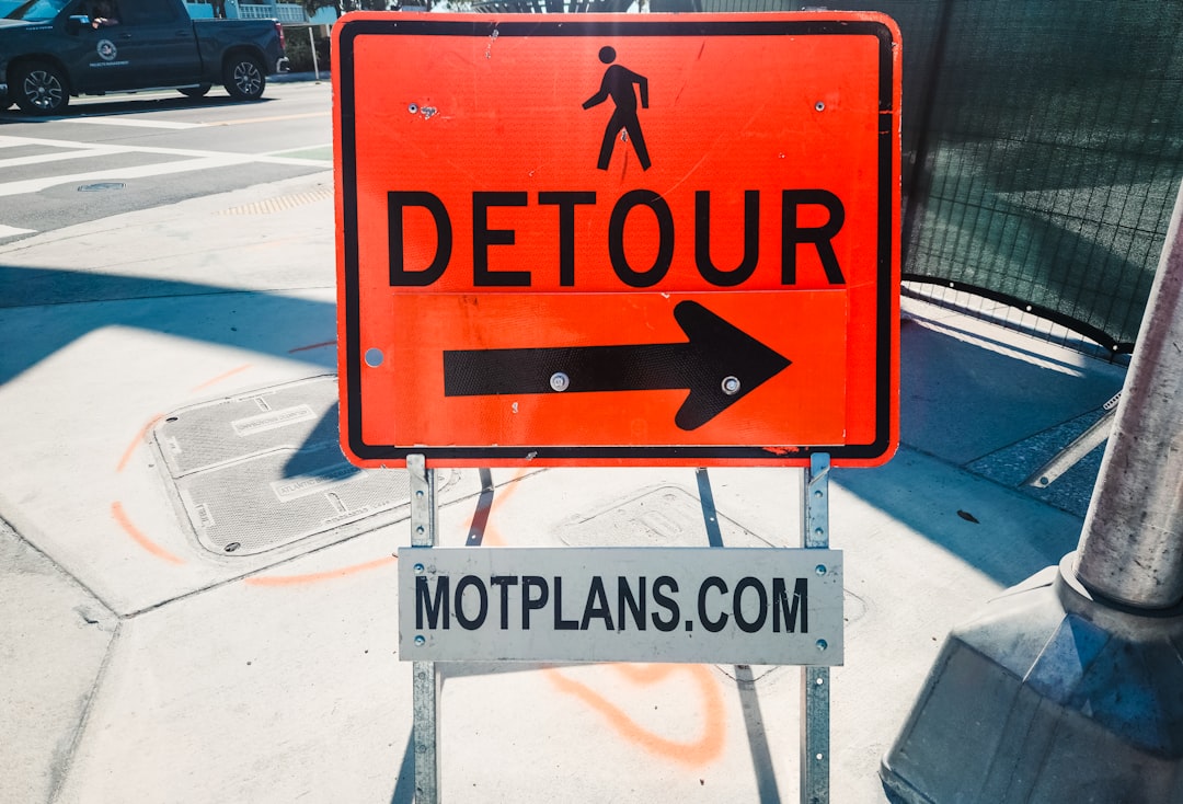
* A critical aspect involves the system’s algorithm needing to make rapid decisions that balance the urgency of clearing a path for an emergency vehicle against maintaining established safety protocols and right-of-way for other road users, particularly pedestrians or cyclists, who might be present at an intersection simultaneously.
* The specific behavior of the system – its operational priorities and how it manages trade-offs between different objectives like emergency speed, general traffic flow stability, and conflict resolution – is fundamentally defined by the tuning and weighting parameters embedded within its underlying optimization functions during configuration.
* Effectiveness and safety in unpredictable urban environments necessitate that the system is designed not just for typical patterns, but also includes specific mechanisms to detect and react safely to sudden, significant disruptions or anomalies on the corridor that cannot be predicted from historical data or current trends.
* Implementing these predictive and responsive control capabilities for even specific corridors requires a robust data pipeline capable of continuously processing and integrating diverse data streams in near real-time from multiple sensor types to inform dynamic decision-making, presenting a significant data management and processing challenge.
Establishing Guidelines
Tempe has established a framework to guide its use of artificial intelligence technologies across city operations. Recognizing the increasing prevalence of AI, the city adopted a policy outlining expectations for its responsible implementation. This policy emphasizes fundamental principles, seeking clarity in AI functions, working towards equitable results, and assigning responsibility for its outcomes. A key part of the approach involves assessing how potential AI systems might affect the community before they are put into use, with the goal of identifying and minimizing undesirable impacts, such as algorithmic bias. The aim is for human judgment and public considerations to remain central to any AI initiatives undertaken. While AI presents opportunities to streamline tasks and potentially enhance public services, including aspects of safety, the consistent practical application of these ethical principles across diverse city uses requires ongoing attention and careful navigation of the technical and social challenges involved in integrating such systems effectively.
The city has taken steps to establish an ethical framework for artificial intelligence use, appearing to adopt a proactive stance to govern its deployment of these technologies across various municipal functions before potential widespread proliferation. This suggests an attempt to anticipate a wide, possibly unknown, range of future applications and associated technical and societal challenges.
A significant challenge in formulating such guidelines lies in the translation of abstract ethical principles like fairness, transparency, and accountability into concrete, technically measurable requirements and procedures applicable across diverse AI systems. Operationalizing concepts like "bias mitigation" into specific development and testing protocols presents a non-trivial engineering task.
The policy reportedly mandates the evaluation of potential community impacts of AI technologies prior to their deployment. Effectively implementing this necessitates establishing clear, and potentially complex, assessment methodologies and involving stakeholders with varied technical and social perspectives to thoroughly analyze potential risks, such as those related to privacy, security, or equitable outcomes.
Embedding mandates for human oversight and defining clear lines of responsibility within the guidelines introduces operational and technical hurdles. Determining the appropriate level and nature of human interaction, whether it's "in-the-loop" decision making or "on-the-loop" monitoring and override capability, varies greatly depending on the AI's function and criticality, requiring careful technical specification within the policy or subsequent standards.
Maintaining the relevance and efficacy of AI use guidelines requires ongoing technical review and adaptation. Given the rapid evolution of AI capabilities and the emergence of new technical risks and societal impacts (as seen with recent developments in generative AI), the policy framework must include robust mechanisms for periodic assessment and updates to remain effective against a constantly moving target.